Drone tech really has been a game-changer. From aerial surveys to knockout marketing images the aerial view really does help set the scene, in a single take. Once the preserve of our brave aeroplane pilots, flying cameras at the sub 400ft level has bought us higher, closer, wider and on point. Not only providing views never before imagined, it’s a great way of seeing our wonderful world.
High Level Photography
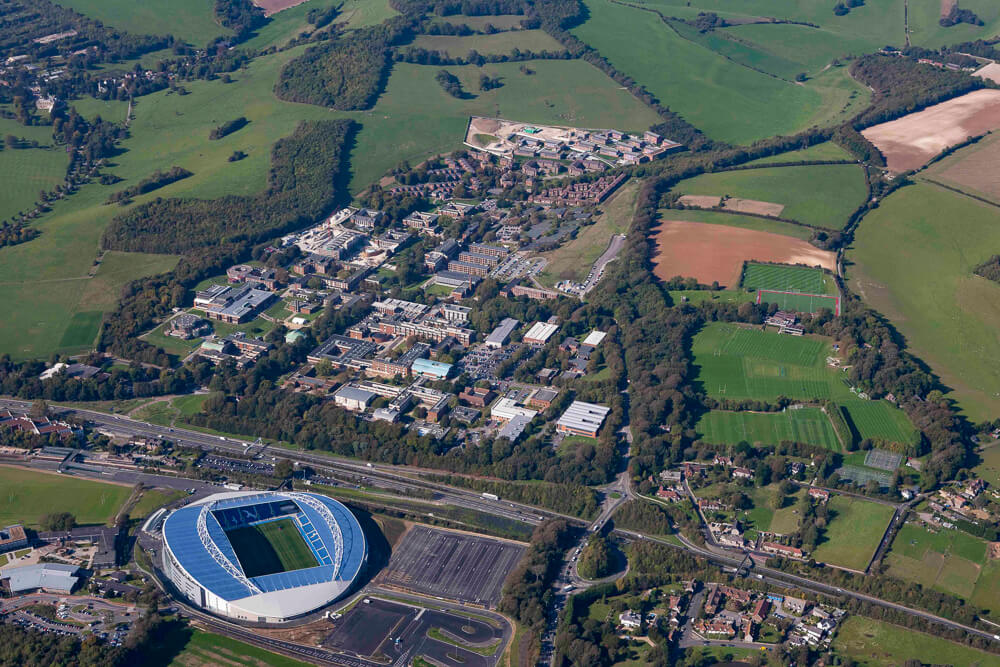
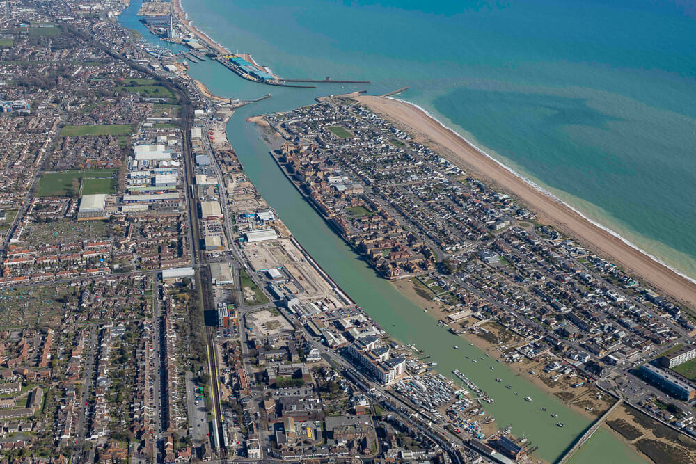
However, the original art form is still very much alive, and when the project requires it, the trusty skill of pilot and photographer navigating the airspace, comes into play. For sports events, large scale construction projects, estate wide surveys and townscapes, only a plane will do. For projects 500ft in the air and over, including restricted airspace, to get epic results.
“If you push the stick forward, the houses get bigger. If you pull the stick back, they get smaller. That is, unless you keep pulling the stick all the way back, then they get bigger again.”